
A Field Guide to Remote Data Work in Modern Geospatial Workflows
Five capabilities remote geospatial teams need, but many tools still don’t provide
8 min read
Meet us at Geo Week 2026
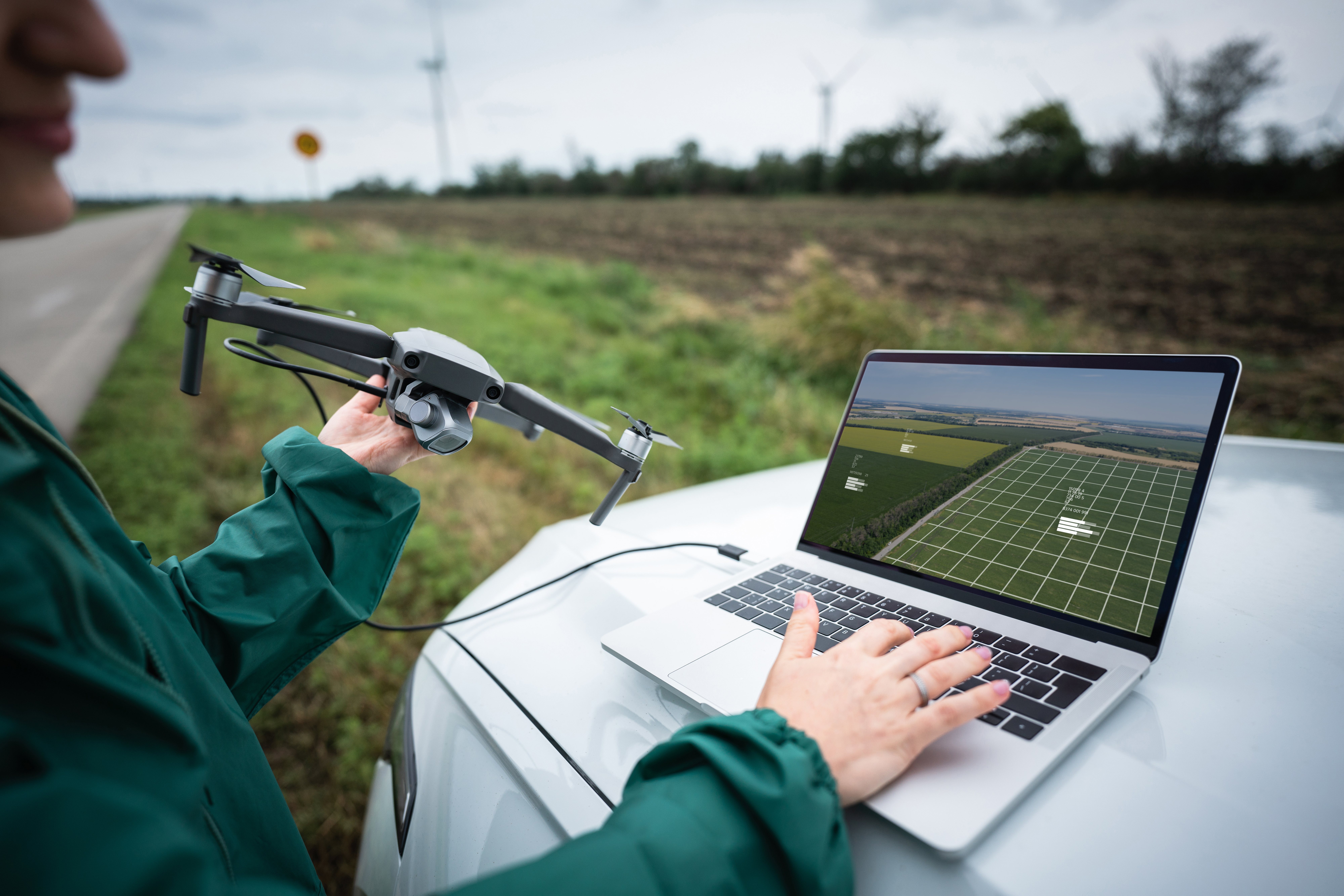
What challenges do geospatial teams face with remote work?
Remote work has always been part of the geospatial industry. What hasn’t kept pace is the tooling. As datasets grow and projects accelerate, many teams are discovering that tools they once relied on, like FTP, physical drives, or consumer-grade tools like Google Drive or WeTransfer, simply weren’t built for the realities of field-based data capture and distributed processing.
The result? Lost time, fragile workflows, dropped transfers, and constant workarounds.
Below are five capabilities geospatial teams need, and the consequences teams face when those capabilities are missing, that actually make a difference to the bottom line.
1. What’s the True Cost of Time?
The Problem:
Many file-sharing and transfer tools claim to be fast, until they’re asked to move terabytes (or even petabytes) of drone data, mapping imagery, LiDAR point clouds, and even thousands of small files across distances.
In practice, transfers crawl. Field teams on the clock, waiting hours or days for uploads to complete. Processing teams sit idle when they could be doing work. Deadlines are at risk, or at least it makes things uncomfortable for you.
Why it Matters:
Geospatial projects are fixed timelines but impacted by reality; internet connectivity, weather, aircraft availability, and even client indecision or changes. Bottlenecked data movement is an easy thing to solve but often ignored, or at best, patched with products not really fit for purpose.
Teams need professional, battle-tested acceleration pipelines, designed for high-volume, long-distance data movement, and not consumer-grade performance that “technically works” except when you need it most.
2. Constriction Restrictions
The Problem:
Many tools impose caps on file size, folder size, bandwidth allocation, or total volume. These constraints force teams to split datasets, compress files, and uncompress files. Often that forces you to ship hard drives just to keep projects moving. It gets there, but it could be so much faster.
Every workaround sucks life from the project.
Why it Matters:
Workarounds add time, increase file fidelity risk, and, frankly, just isn’t the way it should be done. Workarounds cost you in a thousand little ways you probably can’t put your finger on but add up. Instead of uploading complete datasets from the field, teams spend more time reformatting data to fit tool limitations. That delays processing, introduces errors, and increases the chance something gets missed.
Geospatial workflows require tools that adapt to the data, not the other way around.
See how ZELUS replaced FTP with a more reliable approach
3. Hello? Hello? — Unreliable Connectivity Drops
The Problem:
Let’s be honest, field environments aren’t predictable, and many tools lack automated restarts when transfers fail. You’re probably working with spotty or low-speed hotel Wi-Fi, a dropped VPN, or a power interruption; the entire transfer has to start over from zero. That means lost time, sleep, and probably means you have to do it later.
Why it Matters:
The last thing crews who have been in the field all day want to do is babysit a transfer instead of going to bed, and a failed overnight upload can cost an entire day. Automated restarts isn’t just a convenience; it’s the difference between predictable delivery and constant scheduling risks. Plus, you have staff waiting another day for data they needed to start on. It’s a day, at least, before you get it. At the end of a project, how much is another day worth to you.
4. Who Really Touches Your Data — Storage Options
The Problem:
When using consumer-grade transfer tools, geospatial teams are forced into vendor-managed storage. Your data goes to someone else’s storage. It’s no longer in your possession; there is a copy out of your control. For some that may be no big deal. But would your customer think that? Loss of control leads to security risks, unpredictable ingress/egress costs, and data in various endpoints with no visibility or access.
Why it Matters:
Organizations often operate across on-prem, cloud, or hybrid storage environments, so forcing data into a single location can slow workflows, complicate compliance and security, and limit flexibility.
5. Decentralized Administration — What Can Go Wrong?
The Problem:
Many tools lack meaningful, centralized administration. Permissions are hard to manage, activity is difficult to track, and troubleshooting requires manual and intense IT intervention.
Why it Matters:
Multiple toolsets for different tasks, “free” utilities, and diversified management requirements increase your data risk and decreased time spent that could be used to add value for your customers. Without centralized, web-based administration, distributed operations become reactive rather than controlled. Teams can experience confusion over who has access to what, difficulty onboarding new field crews or partners, and limited visibility into where the data is moving (or getting stuck).

6 Bonus. Enterprise-Grade Security — But Is It Really?
The Problem:
For many geospatial teams, working with government agencies, defense contractors, and customers with value intellectual property an everyday occurrence. Often, consumer-based file-sharing tools treat security as a ‘nice-to-have,’ rather than a ‘must-have.’ They are appealing to the masses.
Why it Matters:
An apathetic approach to security poses a serious risk to any data transferred or held in vendor-managed storage for those that need Security gaps lead to disruption of productivity, damage to company reputations, and revenue loss in the form of highly valuable IP or data. Geospatial organizations need to be confident that the tech they’re trusting is safeguarding their datasets.
The Real Cost of Fragile Remote Workflows
You may not even know you could be doing things better. But when teams compensate with manual processes, work late nights, and redo a lot of work, the cost shows up as missed timelines, frustrated (and tired) crews, and growing operational risks that can easily be prevented.
Modern geospatial work depends on reliable data movement, from the field, through processing, to delivery.
When workflows are built for reality, not just ideal conditions, teams move faster, with less friction and more confidence.
Signiant Simplifies File Movement for the Built World
In geospatial and AEC industries, with global teams, increasingly larger file sizes, and stricter deadlines, the ability to transfer critical datasets quickly, securely, and reliably makes a difference. Signiant meets the demands of these industries, empowering professionals to focus on what matters most: creating and developing the built work.
- Proprietary acceleration technology transfers data up to 100x faster than traditional methods such as FTP, shipping hard drives, or consumer-grade tools like WeTransfer or Google Drive
- Any interrupted transfers are automatically resumed at the point of failure, ensuring no data is lost during transmission
- Organizations can transfer and access files directly within their own storage environments, whether on-prem, cloud, or hybrid, rather than passing data through a third-party vendor’s possession
- Easy to use administration allows for controlled access, tracking activity and usage, and real-time feedback on the state of transfers
Explore how Signiant supports modern geospatial workflows
Explore More Resources
View All
Lost in Space: Bringing Premium Workflows to Every Project
Aspyr Media Brings Iconic Games Back to Life with Signiant